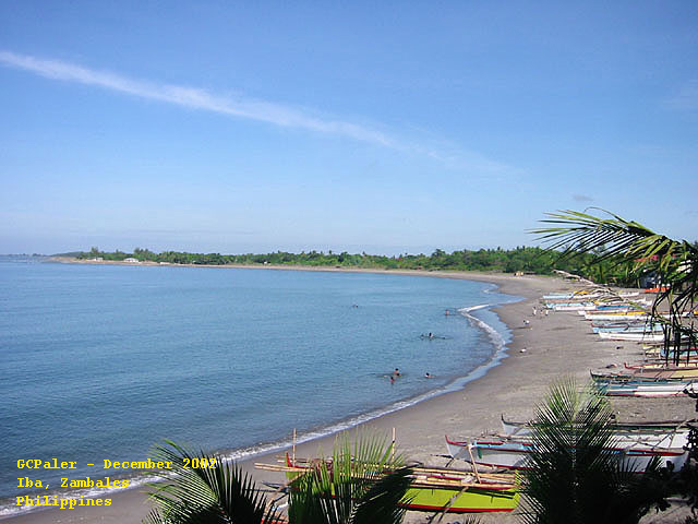
Zambales Iba Beach
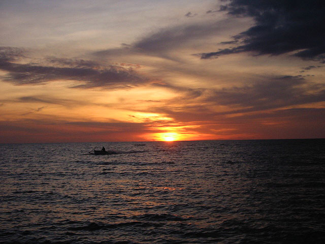
Zambales Iba Beach Sunset
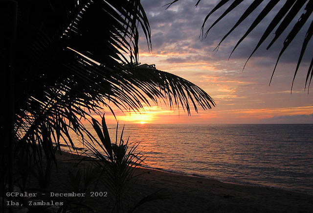
Zambales Iba Beach Sunset
| |
ZAMBALES
Provincial Profile
Capital: Iba
Area: 3714 sq km
Population: ca. 600 000
Cities: Olangapo
Number of Towns: 13
OVERVIEW
The province has little lowland along the narrow coast where the town centers are located. The northern part is basically swampy.
Mountain ranges containing vast precious mineral deposits, as well as some volcanos, are found in the eastern portion. The recent eruption of Mount Pinatubo, on the the bounday between Zambales and Pampanga, has changed the landscape of the province. Certain parts are submerged under lahar and have somtimes given rise to lakes.
There are two pronounced seasons: dry from November to April, and wet the rest of the year.
HISTORY
The name of the province is derived from its earliest inhabitants, the Zambals. The Spanish found them worshiping spirits called anitos, they were reffered to as "Sambali" from the Malay word samba, meaning "to worship". The term was later Hispanicized to "Zambal".
When Juan de Salcedo came to explore the area in 1572, he landed at Cape Bolinao, then a part of Zambales. The Spaniards drove back a group of Chinese pirates of the coast of Bolinao thereby earning the goodwill of the natives.
Zambales was one of the earliest provinces created during the Spanish rule. As founded in the 16 th century. it comprised an area extending from Cape Bolinao in the north to Subic Bay in the south. Due to their inaccessibilty from the capital, seven towns in the northern portion of Zambales, from Bolinao to Infanta and including Alaminos, were later ceded to Pangasinan, forming that province´s western part.
Zambales is the home province of the seventh president of the Republic, Ramon Magsaysay, who hailed form Castillejos.
THE PEOPLE
The inhabotants are composed of three principal ethnic groups: the Ilocanos, Tagalogs and Zambals.
The forebears of the Zamabales where the Malay migrants from Celebes who settled in the north.
The Tagalogs came from the east and settled at the southern end, while the Ilocanos occupied the areas between. These newcomers drove the aborigines, the kinkyhaired Negritos or Aetas to the hinterlands.
Tagalog is the predominant dialect, followed by Ilocano and Zambal.
TOURIST ATTRACTIONS
Subic Bay is deep natural harbor protected by mountains on three sides and guarded by Grande Island at the entrance. The USA maintained a naval base here for three quarters of a century.
Subic Naval Base, the lifeblood of Olangapo, was turned over to the Philippine Government when the Americans left in 1992. Its a huge area, including an international airport and docking facilities, are attracting foreign companies who want to establish buisness there.
A vast tree-canopied forest that extends to Bataan and used by the Americans for jungle training, remains untouched.
The American servicemen´s quarters have been converted into a modern hotel.
The Spanish Gate that once served as a main entrance to the fortified Spanish settlement that was Olangapo, still stands inside the base. It has been restored as a symbol of the Spanish might over Subic Bay until the turn of the century.
Friendship Park is the long, narrow park adjacent to the naval base´s main gate. On it is the Sisterhood Marker between Olangapoo and Bremerton City in the United States.
Rizal Park is a triangular park near the city hall. It is the frequent site of public gatherings. It has numerous shady trees and benches, and music is piped in. Marikit Park in the hearth of the city with its spacious playground was designed for children.
The Subic Bay Lighthouse stands on a small precipice along the northbound national highway. It commands a panoramic view of the city, the base and the bay.
Gordon Memorial Park, at the edge of Kalakaln Bridge near the public cementery, is where the late Mayor James Gordon, regarded as the "Father of Olangapo", is interred. Near here is the Grotto of Our Lord of Pardon where devotes come to pray and pay homeage.
Numerous bays and coves line the shoreline. Coral reefs are good for snorkeling and there are fine diving sites and offshore islands.
In San Antonio town are Camera and Capones Islands with white sand beaches.
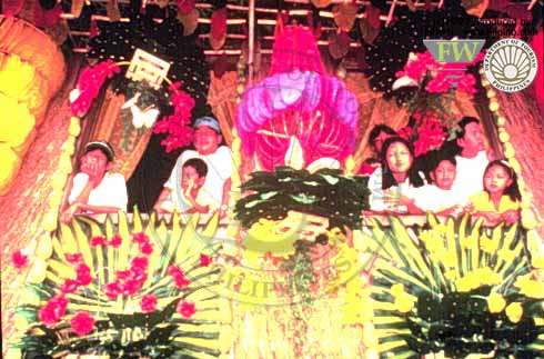
The Binabayani Festival, held on the last week of November in Olangapo, reenacts the war between the Aetas and the Christians through dance.
Kalighawan is a summer festival obeserved province-wide eery last week of April to develop a keener awareness of Zambales´cultural heritage.
COMMERCE AND INDUSTRY
Zambales is bascially an agriculture province. The chief products are rice, corn, vegetables and rootcrops. Major industries include farming, fishing and mining.
Two large mining companies operate in the province. One of them extracts gold, copper and chromite in San Marcelino. And the other one extracts also chromite in Sta. Cruz.
The Olongapo area, once the site of the biggest US naval base in Asia, is fast developing into industrial and tourism zone under the Subic Bay Metropolitan Authority.
GETTING THERE
Many buses is going to this province daily from Manila.
CREDITS
Photos courtesy of Gigi Paler
|